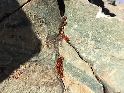
[flickr: Death Valley – Wildrose]
I’ve wanted to hike up to Telescope Peak for a while but so far haven’t felt like I’ve been in good enough shape. A few days ago I saw a photo on the Death Valley NP Facebook page showing ladybugs at the summit of Wildrose. I looked it up and it sounded a lot more easier than Telescope, so why not! The trailhead is at the charcoal kilns around 6,900 feet elevation, winds around a couple of ridges, and finally tops out at 9,064 feet. (NPS hike information)
I took off Friday afternoon and of course ran smack into Livermore rush hour traffic which added an hour to the drive. When I got there around 1 AM I hung out at the Mesquite Sand Dunes parking lot trying out my new camera with some star photography. It was cool, moonless night and dead silent. My tinnitus was the only thing I could hear! I basically pulled an all-nighter fooling around, catching a couple of hours of sleep. I noticed people started rolling in at 5 AM to go out onto the dunes, way before the sun came up. I’m guessing they wanted to get set up for sunrise photos; even more people showed up at 7 AM when the sun finally did rise.
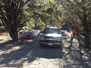
I grabbed breakfast at the Stovepipe Wells restaurant, which by the way has FAR better food than what you can find at Furnace Creek. I wasn’t sure if I wanted to stay at the Wildrose or Thorndike campgrounds, I preferred the latter because it was closer to the trailhead and would help me acclimate to the altitude. On the drive in I noticed there were no trees at Wildrose for shade (or my hammock!), so I headed up to Thorndike which was at 7,400′. There was only one other campsite occupied and there was nobody around. It was considerably cooler than the valley, probably in the 60s. Cool gusts started picking up in the afternoon. When the sun set, it got considerably colder, somewhere in the 40s. burr!
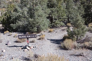
Sunday morning I went down to the Wildrose trailhead and set off at 10:20 AM. It was a great day, and three other people left right before me. The hike was mainly under pine trees which smelled great. It got gradually steeper until I got on top of the ridge where I could see the valley floor and Badwater down below. I crossed across the ridge to the actual Wildrose mountain where I met one of the other hikers already coming back down at 1:30 PM.
Ascending above 8,000 got considerably more difficult, the trail turned into punishing switchbacks. I was having to stop at the end of each one to catch my breath, as my heart would be beating in my head. It was less than a mile to the summit but this took over an hour to get up. Finally at 9,000 feet I had reached the top of the mountain but not quite at the summit yet. It was another quarter mile with about 60 feet of elevation to go.
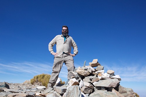
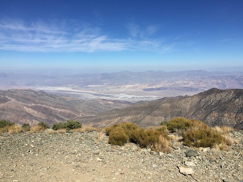
The summit was marked by a pile of rocks, a benchmark plaque, and a ammo can containing the summit log books. It was cool with a lot of gusty wind up there. I could see almost all of the valley floor, Rogers and Telescope peaks, and other ranges in the distance. There were still a bunch of ladybugs crawling around the rocks at the summit.
It had taken me 4 hours 30 minutes to make it to the top. Around 3:30 PM I started back down. I noticed the bottom of my pack was wet and upon investigation one of my hydration bladders was leaking. The threaded ring the cap screws onto also screwed down on a hanger. If this wasn’t screwed all the way down, then the cap couldn’t be screwed all the way down. I lost about half my spare water which made me wonder if I was going to run out before getting back to the trailhead.
It felt like it took forever to get back down because I was tired. I’d check the map and realize each time I had only gone a quarter mile. I met four more hikers that were going up and by the time I reached the bottom they were right behind me coming back down. I finally returned to the trailhead around 6:00, so it took less than three hours to get back down. In all, right under 8 hours round trip. I’m not sure how much water I lost due to the leak, but I think I consumed about 4 liters on the hike.
Needless to say I was worn out and crashed early in my tent. I woke up at 10:30 PM and the altitude was bothering my sleep. I could feel my heart beating rapidly and I was having to breath through my mouth occasionally. I didn’t have a headache so I ruled out AMS. I don’t know if it was because I had exerted myself so hard or what, I finally gave up and packed up my tent to head down to a lower altitude. Of course when I got down lower there was a strong wind kicking up a sandstorm everywhere. I spent the night down at Emigrant and the wind finally died down after 2 AM.
Monday I departed for home. Well after passing through Panamint Springs I heard a jet roar overhead and later saw it flying over the valley. It was too far off to get any sort of photo, boo. On the way down highway 395 I saw a pair of C-17s flying parallel to the highway but didn’t get my camera out in time for those.
Mileage
9/27
4:35 PM   319,259  Fremont, CA
11:35 PM  319,638  Pearsonville, CA
1:31 AM   319,749  Stovepipe Wells, CA
